Kanpur Metro Route: Complete Corridor & Interchange Guide
Complete guide to the Kanpur Metro route connecting IIT Kanpur to Kanpur Central across 14 operational stations, including elevated and underground stops.
Direct Answer & Quick Facts
Summary: Kanpur Metro Priority Corridor spans 14 operational stations from IIT Kanpur to Kanpur Central Railway Station, connecting major educational hubs, medical centers, and commercial markets.
Kanpur Metro Route: Complete Priority Corridor & Interchange Guide
Find your way easily on the new Kanpur Metro track. This guide shows you all station sequences, underground tunnels, elevated tracks, and where to switch lines. We help you save time and skip GT Road traffic.
Use our detailed Kanpur metro route map with stations to plan your travel. This guide walks you through track splits, multi-modal transfer hubs, and street-level exits.
Input Operational Corridor Highlights
Step-by-step route guide of the Kanpur Metro Orange Line Priority Corridor connecting western Kanpur (IIT Kanpur) to Central Kanpur (Kanpur Central Railway Station).
Corridor Geography & Key Highlights:
- Route Length: Approx 16.5 km commercial operational length.
- Total Stations: 14 operational stops (9 elevated, 5 underground).
- Total Journey Time: Approximately 26 minutes end-to-end.
- Major Interchanges: Direct seamless interchange with Indian Railways at Kanpur Central and Rawatpur railway stations.
- Major Institutions Connected: IIT Kanpur, SPM Hospital, CSJM University, Kakadeo Coaching Hub (Geeta Nagar / Gurudev Chauraha), GSVM Medical College (LLR Hospital), and Naveen Market commercial center.
1. Network Route Overview: Orange Line vs. Blue Line
Here is a quick look at the two track corridors in Kanpur Metro Phase 1.
| Corridor Name | Alignment Type | Track Route | Distance | Stations | Construction Status |
|---|---|---|---|---|---|
| Orange Line (Line 1) | Elevated & Underground | IIT Kanpur to Naubasta | 23.78 km | 22 | Partially Operational |
| Blue Line (Line 2) | Elevated & Underground | Agriculture University to Barra-8 | 8.60 km | 8 | Under Construction |
2. Green Corridor Route Breakdown (IIT Kanpur to Motijheel - 8.98 km)
This is the fully operational elevated part of the Orange Line along GT Road (NH-91). Follow the sequential station order below.
The IIT Kanpur to Motijheel metro route runs completely on raised tracks (viaducts). You enter at IIT Kanpur and move east through busy university and coaching areas.
| Seq # | Station Name | Structure Type | Distance from IIT | Platform Layout | Key Drop Gate |
|---|---|---|---|---|---|
| 1 | IIT Kanpur | Elevated | 0.0 km | Side Platforms | IIT Campus Main Gate |
| 2 | Kalyanpur | Elevated | 1.4 km | Side Platforms | Kalyanpur Railway Station |
| 3 | SPM Hospital | Elevated | 2.9 km | Side Platforms | Singpur Road |
| 4 | Vishwavidyalaya | Elevated | 4.2 km | Side Platforms | CSJM University Gate |
| 5 | Gurudev Chauraha | Elevated | 5.4 km | Side Platforms | Coaching Hub (Gurudev) |
| 6 | Geeta Nagar | Elevated | 6.4 km | Side Platforms | Kakadeo Crossing |
| 7 | Rawatpur Interchange | Elevated | 7.7 km | Side Platforms | Rawatpur Railway Station |
| 8 | Lala Lajpat Rai Hospital | Elevated | 8.6 km | Side Platforms | GSVM Medical College |
| 9 | Motijheel | Elevated | 9.4 km | Side Platforms | Motijheel Park Gate |
3. Central Underground Route Extension (Chunniganj to Kanpur Central)
After Motijheel station, the track goes down a ramp into a twin-tunnel system. This Kanpur metro underground route stretch passes beneath Mall Road. Use these stations for central city markets.
| Station Name | Platform Layout | Connecting Neighborhoods | Exit Points | Status |
|---|---|---|---|---|
| Chunniganj | Island Platform | Chunniganj Chauraha | RTO Office, Brave Heart Park | Under Construction |
| Naveen Market | Island Platform | Civil Lines, Parade | Mall Road Shops, Christ Church | Under Construction |
| Bada Chauraha | Island Platform | Kotwali, Phool Bagh | Z Square Mall, Collectorate | Under Construction |
| Nayaganj | Island Platform | Birhana Road | Nayaganj Wholesale Market | Under Construction |
| Kanpur Central (T) | Island Platform | Railway Colony, Cantt | Direct link to Railway Plat 1 | Under Construction |
4. Southern Route Extension (Transport Nagar to Naubasta)
From Kanpur Central, the line tunnels under the railway tracks, emerges near Transport Nagar, and follows the bypass road south toward the highway (NH-19).
- Stations: Transport Nagar, Baradevi, Kidwai Nagar, Vasant Vihar, Baudh Nagar, Naubasta (Terminal).
- All stations in this southern extension are Elevated and Under Construction.
5. Blue Line Complete Route Alignment (Corridor-2 - 8.60 km)
The entire Blue Line track is currently Under Construction. It will connect the agricultural university in the north to residential areas in the south.
| Station Name | Surface Type | Platform Type | Major Neighborhoods Links |
|---|---|---|---|
| Agriculture University | Elevated | Side Platforms | CSUA Campus, Nawabganj |
| Rawatpur Interchange | Underground | Island Platform | Switch here for Orange Line |
| Kakadeo | Underground | Island Platform | Kakadeo Coaching Area, Pandu Nagar |
| Double Phatak | Underground | Island Platform | Shastri Nagar, Railway Crossing |
| Vijay Nagar Chauraha | Elevated | Side Platforms | Vijay Nagar Crossing, Swaroop Nagar |
| Govind Nagar | Elevated | Side Platforms | Govind Nagar Markets |
| Shastri Nagar | Elevated | Side Platforms | Residential Localities |
| Barra-8 | Elevated | Side Platforms | Barra Bypass, Southern Terminal |
6. Multi-Modal Interchange Hubs Deep-Dive (Transfer Mechanics)
Follow these specific path directions at Kanpur metro interchange stations so you never take a wrong turn.
Rawatpur Metro Interchange Guide: This is a major junction.
- Orange Line track is Elevated (Enter via GT Road gates).
- Blue Line track is Underground (Enter via different crossing gates).
- You must use elevators or escalators to transfer between the raised track and the tunnel track. Do not exit the fare gates. Transfer buffer time is approx 4 minutes.
Kanpur Central Railway to Metro Route: This allows a subterranean link (underground walk) directly from Indian Railways Platform No. 1 or the Ghanta Ghar/Cantt Side. You do not need to come up to the main road crossing.
7. Station-to-Station Distance & Travel Time Route Planner
This table helps you plan your journey time on the operational IIT Kanpur to Motijheel metro route. We compare it with road travel time during typical GT Road traffic.
| Origin Station | Destination Station | Track Distance | Stations Traveled | Metro Run Time | GT Road Travel Time |
|---|---|---|---|---|---|
| IIT Kanpur | Vishwavidyalaya | 4.2 km | 4 Stops | Approx 7 Minutes | Approx 15-20 Minutes |
| IIT Kanpur | Geeta Nagar (Kakadeo) | 6.4 km | 6 Stops | Approx 11 Minutes | Approx 25-30 Minutes |
| IIT Kanpur | Rawatpur Interchange | 7.7 km | 7 Stops | Approx 13 Minutes | Approx 30-35 Minutes |
| IIT Kanpur | Motijheel | 9.4 km | 9 Stops | Approx 17 Minutes | Approx 40-50 Minutes |
| IIT Kanpur | Kanpur Central Railway | ~15.5 km | 14 Stops | Approx 26 Minutes | Approx 60-70 Mins (Save 35+ Mins) |
8. Interactive Route Map Diagrams & Commuter Tools
We provide these visual aids and tools to help your commute. Use our smart route navigation assistant to find the nearest street exit or the least crowded platform gate.
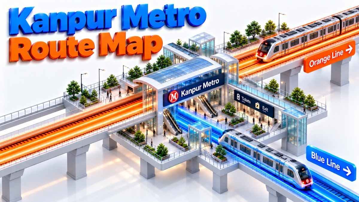
Kanpur Metro Route Map Orange and Blue Lines Interchange
Riding Through Kanpur Metro Priority Corridor elevated track to tunnel 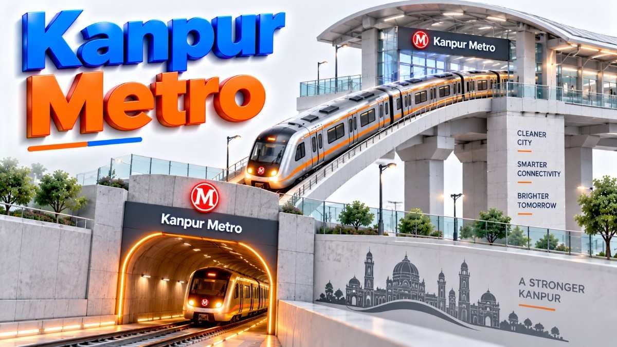
9. Why We Built This Kanpur Metro Route Guide
We are daily commuters in Kanpur. We know the pain of GT Road jams, especially near Kalyanpur and Rawatpur. We built this local guide to help coaching students in Kakadeo and passengers rushing for trains at Kanpur Central. Use this guide to understand station order, avoid confusion at interchange hubs, and transfer smoothly.
Common Mistakes Commuters Make on Kanpur Metro Routes
- Boarding on Wrong Platform: Read the overhead signs carefully. Platform 1 is toward Motijheel; Platform 2 is toward IIT Kanpur.
- Missing Tunnel Ramp: Be alert. The track descent into the underground tunnel happens right after Motijheel station.
- Confusing Rawatpur Railway Gates: The Rawatpur Metro interchange gates are different from the old Rawatpur local railway station entrance. Look for the "Metro Interchange" red signs.
- Taking Wrong Exit at Kanpur Central: There are multiple exits. Follow signs strictly for "Indian Railways Platform 1" or "Cantonment Side".
10. UPMRC Track Rules, Platform Safety & Route Restrictions
Follow UPMRC guidelines for a safe track route journey.
| Action / Violation | Risk Factor | UPMRC Safety Protocol |
|---|---|---|
| Walking on tracks | Electrocution Risk | Strictly Prohibited. Heavy Penalty & Fines. PA system warning. |
| Crossing the Yellow Platform Line | Falling under train | PA system warning. Security staff intervention. Stay behind the yellow line. |
| Leaning on Fare Gates | Gate Malfunction / Minor Injury | Do not lean. Use smart card or token correctly. PA system warning. |
1. Which stations are operational in the Kanpur Metro Route: Complete Priority Corridor & Interchange Guide?
According to the Kanpur Metro Route: Complete Priority Corridor & Interchange Guide, the operational stations are on the Orange Line Priority Corridor from IIT Kanpur to Motijheel.
2. Where is the main transfer hub located in the Kanpur Metro Route: Complete Priority Corridor & Interchange Guide?
As highlighted in the Kanpur Metro Route: Complete Priority Corridor & Interchange Guide, Rawatpur is the primary interchange station connecting the Orange and Blue Lines.
3. How long is the elevated section mentioned in the Kanpur Metro Route: Complete Priority Corridor & Interchange Guide?
The Kanpur Metro Route: Complete Priority Corridor & Interchange Guide details an 8.98 km operational elevated section for the Priority Corridor.
4. Are there underground stations in the Kanpur Metro Route: Complete Priority Corridor & Interchange Guide?
Yes, the Kanpur Metro Route: Complete Priority Corridor & Interchange Guide outlines future underground stations from Chunniganj to Kanpur Central on the Orange Line, and along the Blue Line.
5. Which line connects to Agriculture University in the Kanpur Metro Route: Complete Priority Corridor & Interchange Guide?
The Blue Line (Corridor 2), detailed in the Kanpur Metro Route: Complete Priority Corridor & Interchange Guide, starts at Agriculture University.
6. How does the Kanpur Metro Route: Complete Priority Corridor & Interchange Guide help bypass traffic?
The Kanpur Metro Route: Complete Priority Corridor & Interchange Guide shows how the elevated track avoids congestion on GT Road, significantly reducing travel time.
7. Does the Kanpur Metro Route: Complete Priority Corridor & Interchange Guide cover the Blue Line?
Yes, the Kanpur Metro Route: Complete Priority Corridor & Interchange Guide includes the alignment and stations for the upcoming Blue Line (Corridor 2).
8. What is the total network length planned in the Kanpur Metro Route: Complete Priority Corridor & Interchange Guide?
The Kanpur Metro Route: Complete Priority Corridor & Interchange Guide states the total planned length for both corridors is 32.38 km.
9. How do I transfer lines according to the Kanpur Metro Route: Complete Priority Corridor & Interchange Guide?
At Rawatpur, the Kanpur Metro Route: Complete Priority Corridor & Interchange Guide explains you can transfer vertically between the elevated Orange Line and underground Blue Line without exiting the fare gates.
10. Which station serves the medical college in the Kanpur Metro Route: Complete Priority Corridor & Interchange Guide?
The LLR Hospital station on the Orange Line, as shown in the Kanpur Metro Route: Complete Priority Corridor & Interchange Guide, serves the GSVM Medical College.
11. What is the terminal station for the southern extension in the Kanpur Metro Route: Complete Priority Corridor & Interchange Guide?
Naubasta is the planned terminal for the southern extension of the Orange Line, detailed in the Kanpur Metro Route: Complete Priority Corridor & Interchange Guide.
12. Does the Kanpur Metro Route: Complete Priority Corridor & Interchange Guide list railway connections?
Yes, the Kanpur Metro Route: Complete Priority Corridor & Interchange Guide highlights connections to Indian Railways at Kanpur Central and Rawatpur stations.
13. What is the status of the underground tunnels in the Kanpur Metro Route: Complete Priority Corridor & Interchange Guide?
According to the Kanpur Metro Route: Complete Priority Corridor & Interchange Guide, underground tunnel construction is currently active.
14. Which station in the Kanpur Metro Route: Complete Priority Corridor & Interchange Guide is near the coaching hub?
Kakadeo (Blue Line) and Geeta Nagar/Gurudev Chauraha (Orange Line) serve the coaching hubs, as noted in the Kanpur Metro Route: Complete Priority Corridor & Interchange Guide.
15. How many stations are on the Blue Line according to the Kanpur Metro Route: Complete Priority Corridor & Interchange Guide?
The Kanpur Metro Route: Complete Priority Corridor & Interchange Guide lists 8 stations for the Blue Line.
16. Where does the Blue Line terminate in the south per the Kanpur Metro Route: Complete Priority Corridor & Interchange Guide?
The southern terminal for the Blue Line is Barra-8, as specified in the Kanpur Metro Route: Complete Priority Corridor & Interchange Guide.
17. Does the Kanpur Metro Route: Complete Priority Corridor & Interchange Guide include travel times?
Yes, the Kanpur Metro Route: Complete Priority Corridor & Interchange Guide provides a station-to-station distance and travel time matrix.
18. How long does the trip from IIT Kanpur to Motijheel take in the Kanpur Metro Route: Complete Priority Corridor & Interchange Guide?
The Kanpur Metro Route: Complete Priority Corridor & Interchange Guide estimates this journey takes approximately 17 minutes.
19. Are there elevated stations on the Blue Line in the Kanpur Metro Route: Complete Priority Corridor & Interchange Guide?
Yes, the Kanpur Metro Route: Complete Priority Corridor & Interchange Guide details that stations from Vijay Nagar Chauraha to Barra-8 will be elevated.
20. What is the target completion date for Corridor 2 in the Kanpur Metro Route: Complete Priority Corridor & Interchange Guide?
The Kanpur Metro Route: Complete Priority Corridor & Interchange Guide indicates a target commercial commissioning date of late 2026 for Corridor 2.
21. Which station provides access to Z Square Mall in the Kanpur Metro Route: Complete Priority Corridor & Interchange Guide?
The underground Bada Chauraha station, listed in the Kanpur Metro Route: Complete Priority Corridor & Interchange Guide, provides access to Z Square Mall.
22. How does the Kanpur Metro Route: Complete Priority Corridor & Interchange Guide describe the track gauge?
The Kanpur Metro Route: Complete Priority Corridor & Interchange Guide confirms the use of Standard Gauge (1435 mm) tracks.
23. Are there platform screen doors mentioned in the Kanpur Metro Route: Complete Priority Corridor & Interchange Guide?
Yes, the Kanpur Metro Route: Complete Priority Corridor & Interchange Guide notes that all underground stations will have platform screen doors.
24. What traction power is used according to the Kanpur Metro Route: Complete Priority Corridor & Interchange Guide?
The Kanpur Metro Route: Complete Priority Corridor & Interchange Guide states that the trains run on 750V DC via a Third Rail system.
25. Where are the depots located in the Kanpur Metro Route: Complete Priority Corridor & Interchange Guide?
The Kanpur Metro Route: Complete Priority Corridor & Interchange Guide mentions depots at Government Polytechnic (Orange Line) and Agriculture University (Blue Line).
26. Which companies are building the lines in the Kanpur Metro Route: Complete Priority Corridor & Interchange Guide?
The Kanpur Metro Route: Complete Priority Corridor & Interchange Guide lists contractors like KPIL-Gulermak JV and Ceigall India Ltd for civil works.
27. Does the Kanpur Metro Route: Complete Priority Corridor & Interchange Guide cover the Nayaganj station?
Yes, Nayaganj is listed as an underground station on the Orange Line in the Kanpur Metro Route: Complete Priority Corridor & Interchange Guide.
28. How does the Kanpur Metro Route: Complete Priority Corridor & Interchange Guide address the Double Phatak crossing?
The Kanpur Metro Route: Complete Priority Corridor & Interchange Guide explains that the Blue Line tunnels under the Double Phatak railway crossing to avoid delays.
29. Is CSJM University accessible via the Kanpur Metro Route: Complete Priority Corridor & Interchange Guide?
Yes, the Vishwavidyalaya station on the Orange Line serves CSJM University, as shown in the Kanpur Metro Route: Complete Priority Corridor & Interchange Guide.
30. Where can I find visual maps of the Kanpur Metro Route: Complete Priority Corridor & Interchange Guide?
The Kanpur Metro Route: Complete Priority Corridor & Interchange Guide includes placeholders for high-resolution route maps and diagrams.
Was this Kanpur Metro transit guide helpful?
Help us improve Kanpur transit intelligence for 1.5M+ daily commuters.